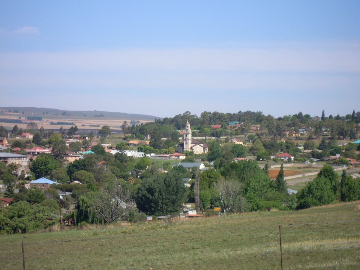

When the British invasion forced the Transvaal Volksraad to evacuate Pretoria during the Second Boer War, they established a temporary seat in a small station during the year 1900. They used railway carriages as their offices and a mint.
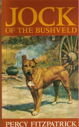
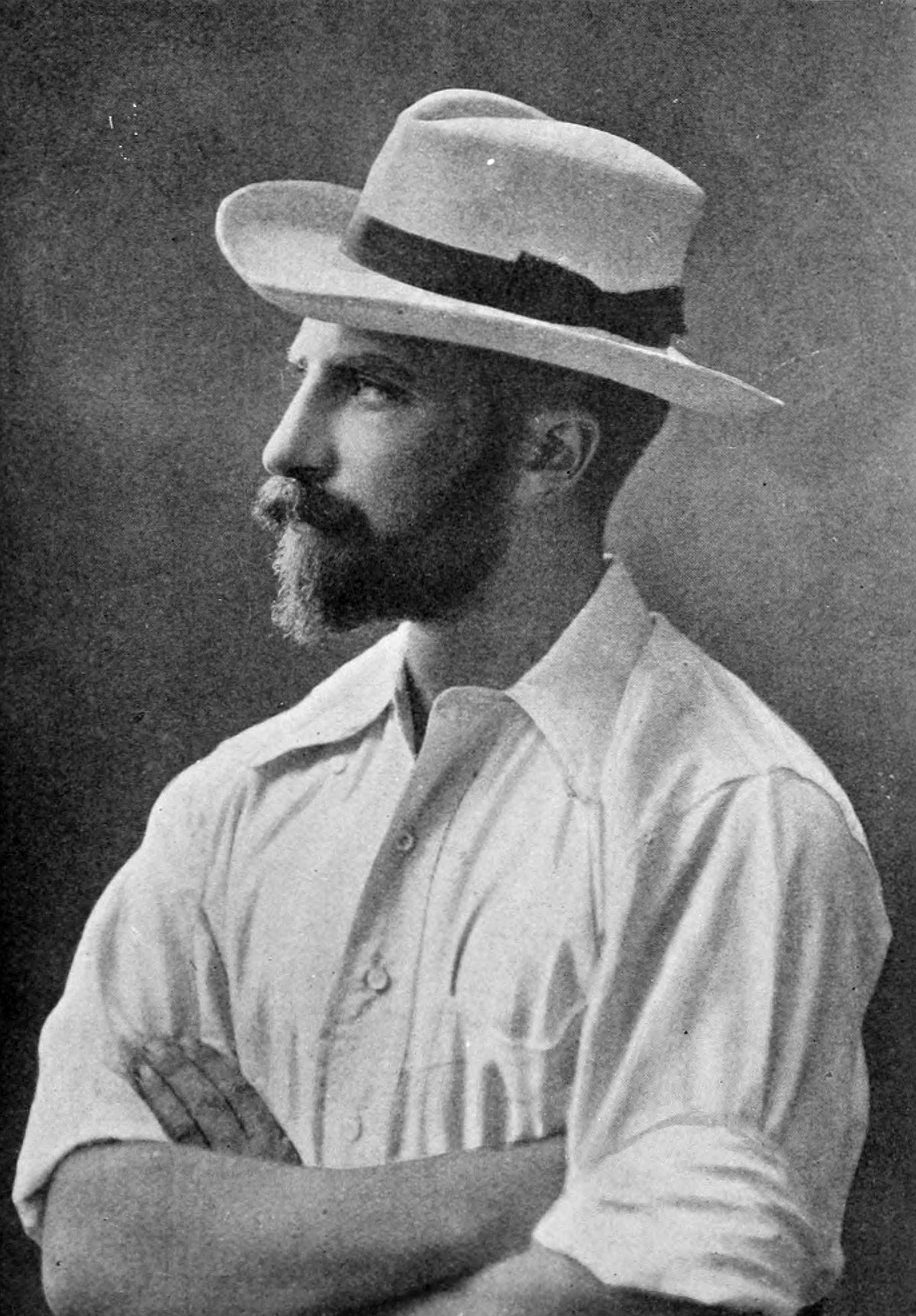
This land began as a sheep farm called Geluk, yet it took the name of a Portuguese engineer who mapped the jagged gorge for the railway line. It grew as a town on the N4, finding its pulse in the logging industries based on pine plantations and the industries feeding a chrome smelter. In a time of old, a station master saved a cargo of dying trout by casting them into the water, a small mercy that birthed a long legacy of trout tourism.
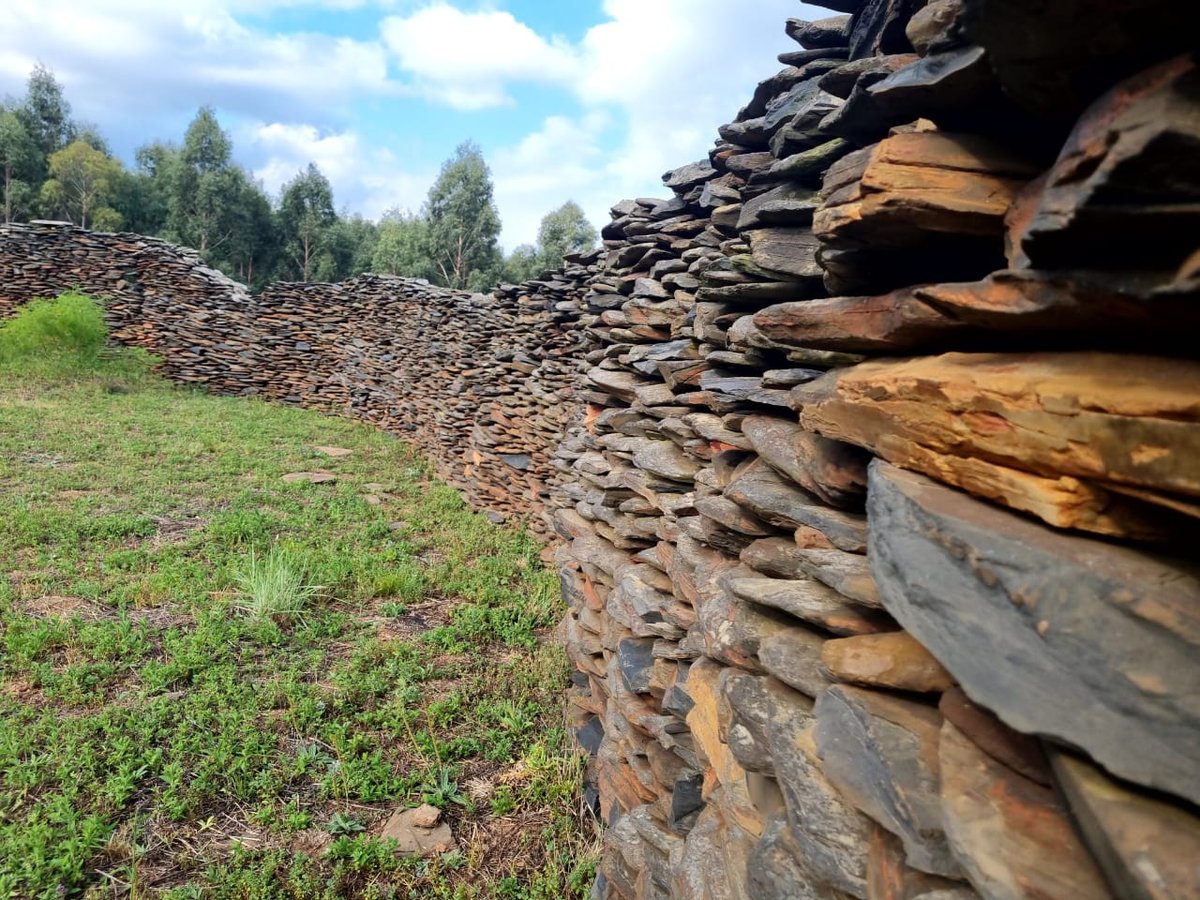
Now the land bears the name eNtokozweni, the Place of Happiness, though the old name still lingers in the mouths of the people. Beyond the modern paths, the hills bear the scars of thousands of stone walls. These are the terraces of the baKoni, a complex of settlements, fields and roads that stood in silence long before the trains ever arrived.
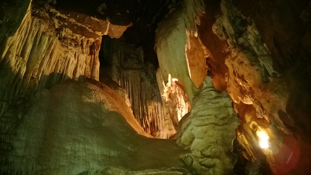
Today, the old station sits as a derelict ruin. Near the escarpment, a natural radioactive spring remains, where it is reputed to have powerful healing qualities.
Sources: Wikipedia, OpenStreetMap, Wikidata, Wikimedia Commons
Written by Mutabor
Discuss this with the author and others
No comments yet. Be the first to start the conversation.