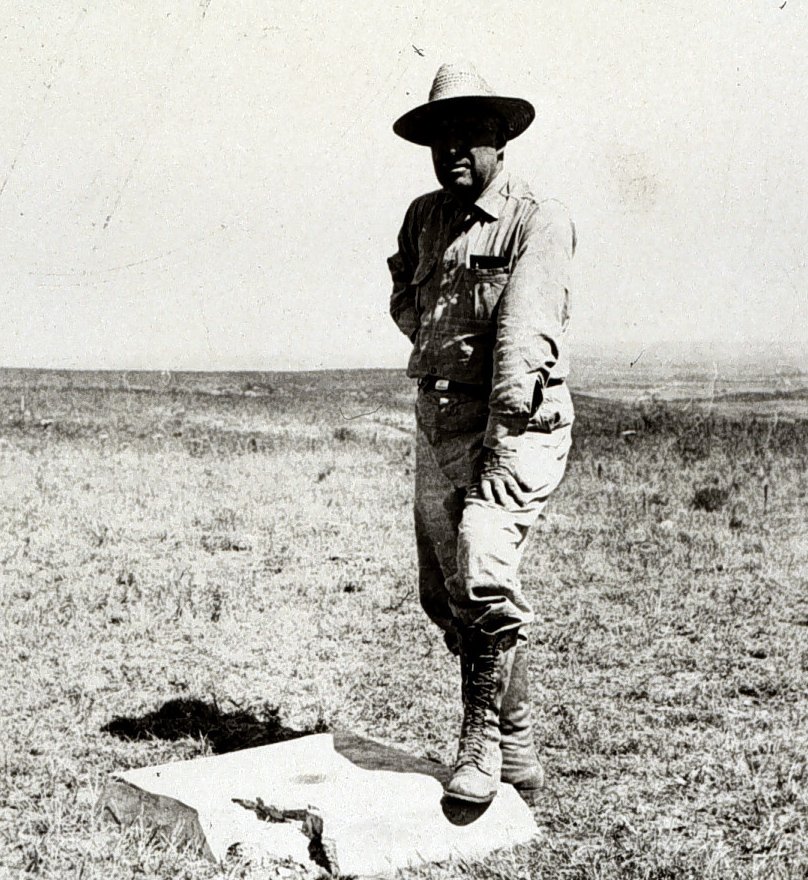

Dusty and wind-swept, 1891 in the Wild West felt like a distant galaxy. And there in the midst of it all, a small stone set up camp in Meades Ranch, Kansas. This stone, however, wasn't your usual rock. It was hand-picked as the foundation for the United States Geodetic Datum, a spatial measurement game-changer that would cross over North America. By 1901, this little rocky fellow was given the prestigious title of the United States Standard Horizontal Datum, making it the threshold for all land measurements within the nation.
Sources: Wikipedia, OpenStreetMap, Wikidata, Wikimedia Commons
Written by Friendly Jane
Discuss this with the author and others
No comments yet. Be the first to start the conversation.