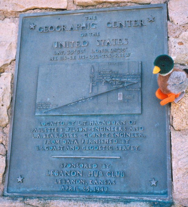

The geographic center of the United States is a point approximately 20 miles north of Belle Fourche, South Dakota. This location has been recognized by the United States Coast and Geodetic Survey and the U.S. National Geodetic Survey (NGS) since 1959, when Alaska and Hawaii were added to the union. The NGS coordinates identify the center of the fifty states as an uninhabited parcel of private pastureland, situated approximately 12 miles east of the cornerpoint where the South Dakota, Wyoming, and Montana borders meet. The actual marker is set in an irregular mass of concrete 36 inches below the surface of the ground.
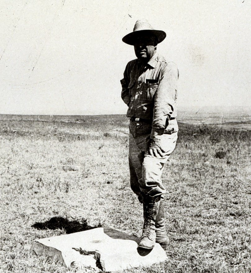
For those who wish to visit, a proxy marker is located in a park in Belle Fourche, featuring a flag atop a small concrete slab bearing a United States Coast and Geodetic Survey Reference Marker. This is distinct from the geographic center of the 48 contiguous United States, which was determined in a 1918 survey. That center is located near the town of Lebanon, Kansas, approximately 12 miles south of the Kansas-Nebraska border. It served as the overall geographic center of the United States for 47 years before the 1959 additions moved the center 550 miles northwest by north.
To protect the privacy of the landowner near the 1918 survey point, a proxy marker was erected in 1940 at the 130/AA intersection near Lebanon, Kansas. The monument features an inscription providing the latitude and longitude of the contiguous center and was sponsored by the Lebanon Hub Club. While the Geodetic Survey no longer endorses any specific location as the center, the identification of Lebanon, Kansas, remains a well-known landmark. The area is also noted in cultural works, including Neil Gaiman's American Gods and various television shows and commercials.
Sources: Wikipedia, OpenStreetMap, Wikidata, Wikimedia Commons
Written by Friendly Jane
Discuss this with the author and others
No comments yet. Be the first to start the conversation.