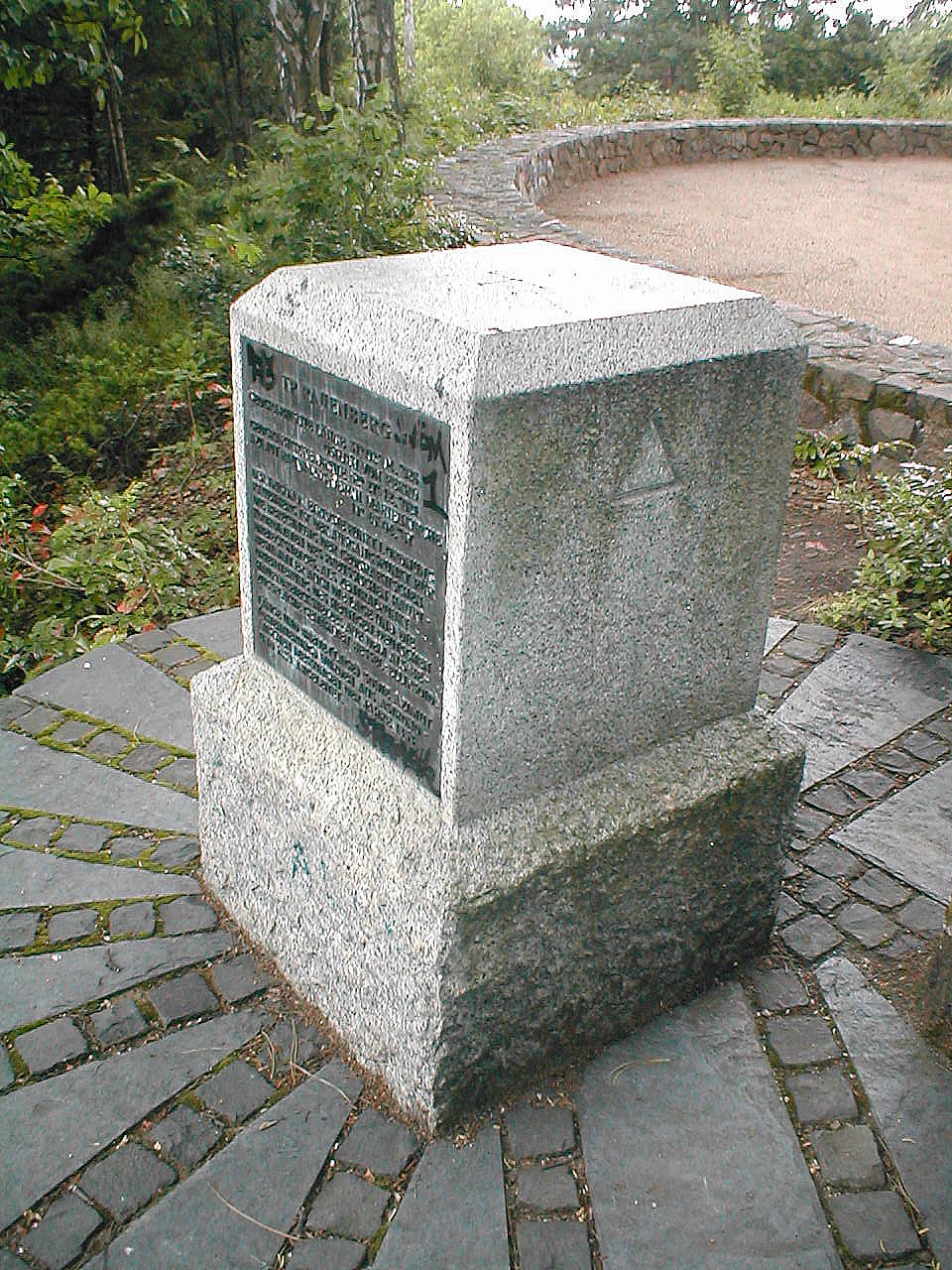
In Tempelhof, a solitary stone marks a triangulation station. This station, Rauenberg, anchors the Prussian Hauptdreiecksnetz grid.
Surveyors first used the site in 1846 for mapping purposes. It served as the starting point for the calculation of geographic coordinates of the Prussian main triangular mesh spatial reference system, defining the location and orientation of the modern German triangular mesh spatial reference system in relation to a chosen Bessel ellipsoid.
Astronomical measurements from the years 1853 and 1859 were used to derive the latitude and longitude. The azimuth was also derived from astronomical measurements of the years 1853 and 1859.
A monument now marks the site. An inscription on the east side preserves these 19th-century observations, listing the longitude as 31° 02′ 04″ 928 to the east of Ferro and the azimuth Rauenberg - Berlin Marienkirche as 19° 46′ 04″ 87.
Sources: Wikipedia, OpenStreetMap, Wikidata, Wikimedia Commons


Written by Aurora
Discuss this with the author and others
No comments yet. Be the first to start the conversation.