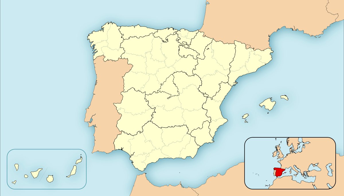

San Esteban de Uvierzo, also known as Uvierzo, is a deserted Spanish village located in the municipality of Cármenes, in the comarca of Los Argüellos, in the north of the province of León, in the autonomous community of Castilla y León. It has been uninhabited since the 15th century. During the creation of the concejos, it was the seat of the Great Concejo del Arbolio, a medieval landmark in this comarca. Uvierzo is named from the Latin term `aquavergium`, which means 'dividing waters'.
The first mention of Uvierzo dates back to 999 AD, as Sancte Steuan de Ugerzo. It is located in the Vallico valley, which includes Valverdín, Pedrosa, Lavandera, and Genicera. The Pico Cabañas or Pico Cabanas, one of the highest peaks in the area, is located near Uvierzo. Today, San Esteban de Uvierzo is in the Genicera district of the municipality of Cármenes. Uvierzo was first studied in the 1980s by the University of León but the study was not carried out due to a lack of funds.
The name 'Collada de Valdeteja' for Uvierzo is a historical error due to the Ayuntamiento of Cármenes allowing the use of the name as Collada de Valdeteja when it legally belonged to the ayuntamiento of Carmenes. References to Uvierzo can be found from the end of the 10th century. The murias mentioned correspond to ancient mojones for delimiting its territory. Uvierzo was once part of the Old Royal Road that connected La Mediana. Uvierzo was mentioned immediately after Sancto Thomas de Guinizera and two places after Sant Mames de Valverde in a document from the 16th century.
The 16th century document states that Uvierzo was 'esta yerma' and 'non da nada', showing evidence that it was already abandoned in the 16th century. Uvierzo was mentioned in documents of the Archivo Histórico Diocesano de León for several decades after the 16th century. Uvierzo's church was known as: In one of its meadows, the Real Concejo del Arbolio was held. It was also known as Collada del Coto, a central point where three thirds of the roads converged.
Uvierzo could be considered a 'natural mediator' as it was located at a water division point, with one water flowing eastwards and another westwards. The judges and the defendant stood on a large rounded stone during the Real Concejo del Arbolio, the stone was preserved until 1921, the year the first road was traced. The Real Concejo del Arbolio was mentioned several times, especially during the 16th century, in documents of Fernando IV or Juan II of León (I of Castille) The parish was an ermita, suggesting it was a deserted church.
In 1415, King Juan III of León donated the real señorío de Los Argüellos to the concejo de León, citing poor conditions, robberies, deaths, and disorder in the area The parish was located in a territory of the church, as found in the Catastro del Marqués de Ensenada A chalice was found among the remains of the ermita and taken to the Asturian archaeological museum The bell tower was moved to the church of Genicera, but later taken to an unknown location There was a legenda ginata and garucha that the end of this village was caused by a poisoned well or a witch In one version of the legend, a woman survived and moved to Genicera, explaining the connection to that town In another version of the legend, the woman move to Valverde del Curueño A tourist route named Uvierzo a Sancenas exists The route from Collada de Uvierzo to Puerto de Sancenas, now a pasture trail, starts from the plain separating the Curueño and Valverdín valleys and ends at the Fuenfría hut.
The route continues towards the giant calizas until Las Vizarreras, a extensive area shaped by kartic erosion. A collada near southwest offers a passage to the broad ports of Sancenas. Another collada towards the west leads to the Fuenfría hut. A small stream disappears to continue its course underground near the Peña del Sumidero. The territory of Sancenas is a provincially declared area of geological interest due to its vast plain marked by its height.
In summer, a cold summer is experienced on days with little sun in Sancenas, while in winter it receives large snowfalls that almost prevent passage to the Fuenfría hut. Three milestones can be observed on the Alto de la Lomba, dividing the municipal terms. At the beginning of the descent from the Peña del Sumidero, three eroded crosses can be found carved into the rock, dividing the territories of Genicera with the nearby town of Valverde del Curueño.
Sources: Wikipedia, OpenStreetMap, Wikidata, Wikimedia Commons
Written by Nik Frost
Discuss this with the author and others
No comments yet. Be the first to start the conversation.