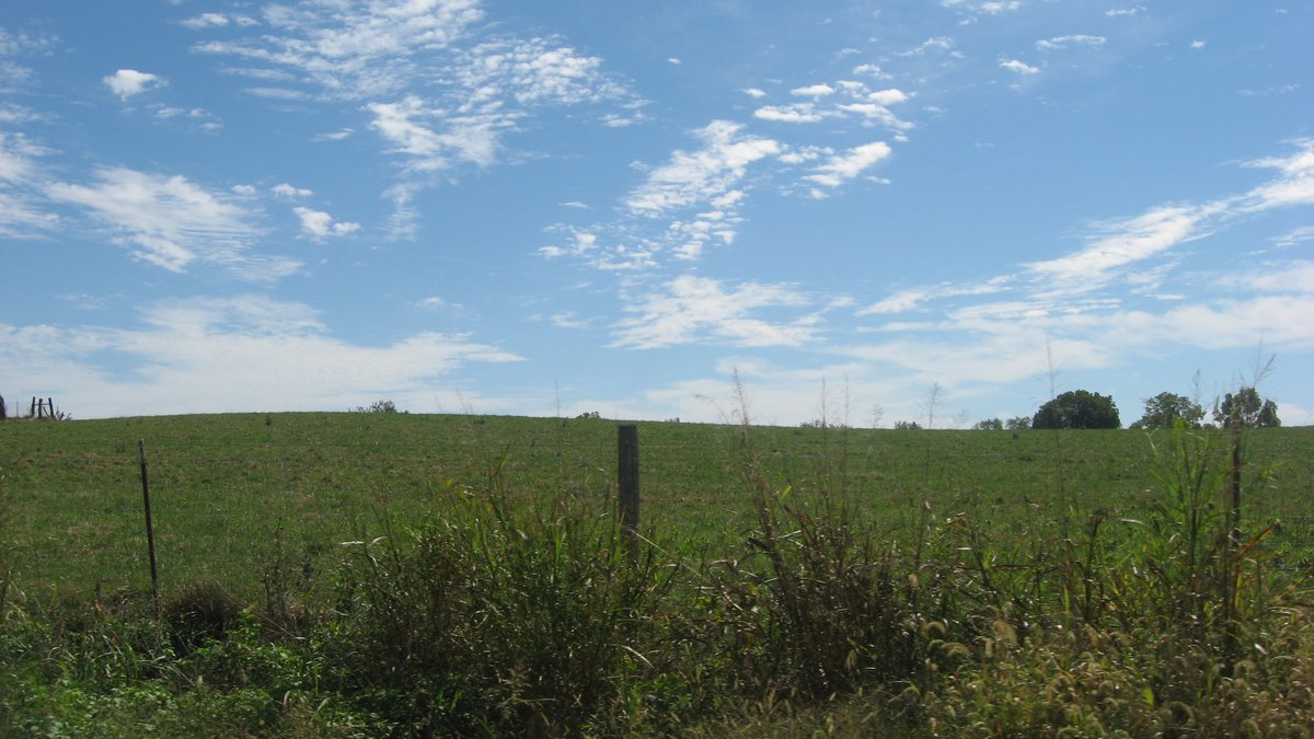
The Prather Site (12CL4) was the principal ceremonial center of the Prather Complex, the northeasternmost regional variant of the Middle Mississippian culture. While many Mississippian sites were located in alluvial valleys near rivers, the Prather Site is situated 4.9 kilometres west of the Ohio River on a loess-capped upland ridge. The inhabitants may have settled farther back from the river in an attempt to avoid contact with travelers, trading the richer soils and marine resources of the valley for the added safety of the uplands. The site is watered by permanent natural springs and shallow streams.
The site consists of a 5.2 hectares residential village area surrounding four platform mounds arranged in a roughly rectangular pattern around a central plaza. Dating from samples obtained from the largest mound indicates the site was used from approximately 1000 to 1180 CE. Archaeologists have identified various mortuary practices at the site, including stone box graves and flexed and extended burials beneath fired clay floors. Excavations have also uncovered Mississippian pottery tempered with crushed marine shells, a stone discoidal for the game of chunkey, a shell gorget, and a copper-covered, carved wooden raptorial bird.
Today, the site is located next to Indiana State Road 62, immediately west of the former Indiana Army Ammunition Plant. While the area was once rural, residential and industrial encroachment is rapidly changing the landscape. Multiple modern developments are planned for the area, including a new bridge over the Ohio River and new housing developments, which currently threaten the preservation of the site as a viable archaeological location.
Sources: Wikipedia, OpenStreetMap, Wikidata, Wikimedia Commons
Written by No Other
Discuss this with the author and others
No comments yet. Be the first to start the conversation.