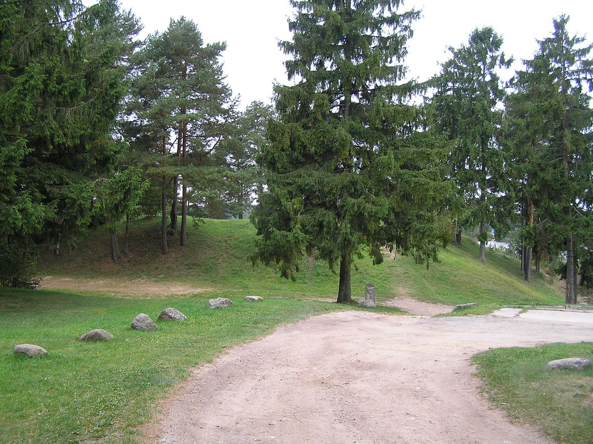
The Velžiai hillfort, set on the former banks of the Arimaičių lake (now a dam), is located in the Radviliškio rural district, close to Velžiai village, Šeduteriai parish. Positioned just off the A9 highway, a branch road named 'Žirnelio' leads from a nearby parking lot, 30 meters to the left from the lot. The hillfort, though narrow, soars to 1.5 meters in the north-south direction and 15 meters in the east-west direction. Measuring 25 meters across and 4-5 meters high in the east, its western banks are 20 meters wide and 2 meters deep.
An intriguing feature of the hillfort's southeast bank is a protrusion of up to 2 meters high. Traces of human habitation, dating from the 1st millennium BC to the 13th century AD, were uncovered during archaeological excavations in 1968 and 1969, revealing evidence of a bronze antiklake, fossilized bones, shards of pottery, and signs of past inhabitants.
Sources: Wikipedia, OpenStreetMap, Wikidata, Wikimedia Commons
Written by Nicolo Ciampini
Discuss this with the author and others
No comments yet. Be the first to start the conversation.