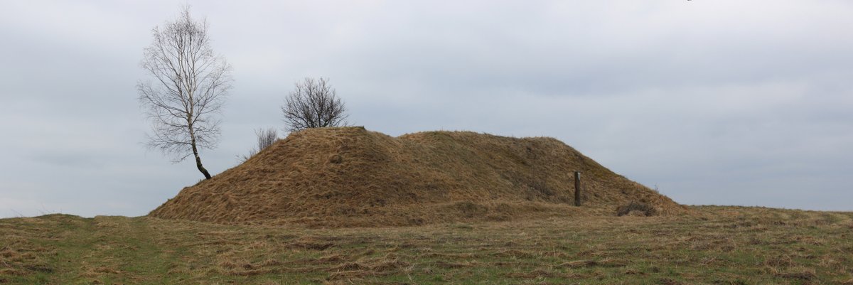
The Iron Age fortifications at Piliakalnis, a hillfort in Lithuania's Jonava region, are dated to the 1st millennium BC. The central part of Piliakalnis, covering only 12x6 meters, was excavated in the 19th century. In the 6-meter thick layer that covers this area, there is a 4-meter deep trench on top of a 1.3-meter deep layer, and 1-meter thick walls on the southern and eastern sides. The rest of Piliakalnis was buried during the 20th century due to road construction. The total area covered by Piliakalnis is 0.8 hectares. The remains of walls are visible on the southern and eastern sides of Piliakalnis. Piliakalnis was fortified. The Lithuanian Government declared a 10,000 m² cultural heritage site, which includes the 0.8 hectare site of Piliakalnis itself.
Sources: Wikipedia, OpenStreetMap, Wikidata, Wikimedia Commons
Written by Nicolo Ciampini
Discuss this with the author and others
No comments yet. Be the first to start the conversation.