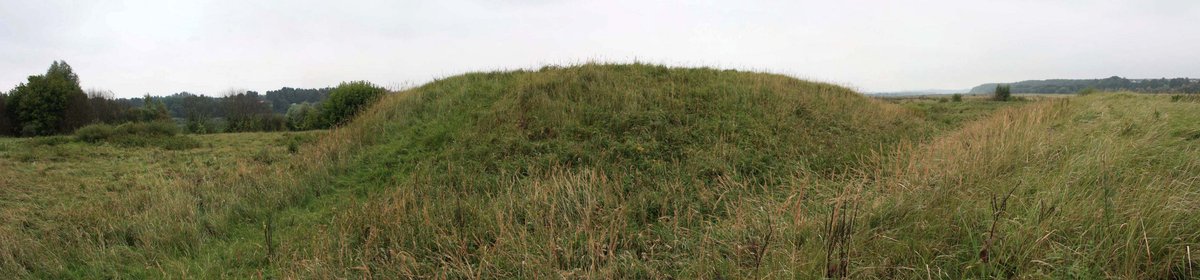

The Kalnėnai Hillfort, situated by the Nemunas River, offers a rich and tumultuous history. Its two hills, separated by 4-meter gaps and deep 6-meter ditches, remain mysterious about their creation. The hillfort stands 4.5 meters high, with a summit measuring 26 meters by 14 meters. Trenches lie on the southern and northern parts of the hillfort. The flood-filled southern trench stretches 34 meters, with a width of 18 meters and a depth of 3 meters.
The northern trench, flooded as well, is just 1 meter tall and 10.5 meters wide. A mound is found beside the hillfort, with a summit measuring 55 meters by 48 meters. Among various artifacts excavated at the site, an iron piece with iron parts was uncovered. In 1949, teachers from Jurbarko vidurinės mokyklos conducted excavations. The archaeologist Romas Olišauskas, from Mokslinė metodinė kultūros paminklų apsaugos taryba, examined the site in 1972. Saulius Berulis, also from Mokslinė metodinė kultūros paminklų apsaugos taryba, inspected the site in 1990.
Sources: Wikipedia, OpenStreetMap, Wikidata, Wikimedia Commons
Written by Nicolo Ciampini
Discuss this with the author and others
No comments yet. Be the first to start the conversation.