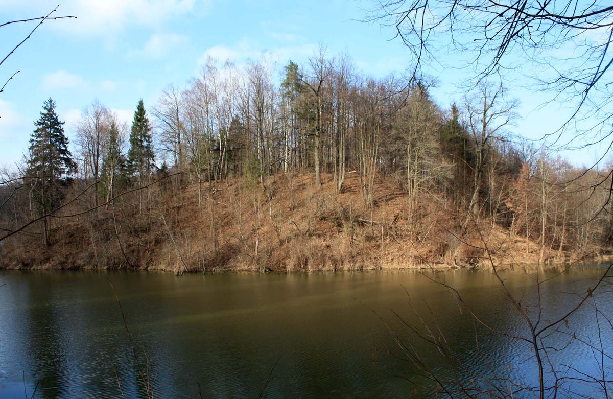
The Butviloniai hillfort, located on the right bank of the Trydupio river (currently a plain), dates back to the II century. From the south-west, it is bordered by higher ground that offers a clear view towards the slope of Upelis to the north-east. The hillfort, which is oriented towards the south-west, has a length of 950 m and a width of 300 m, covering an area after erosion. The height of the hillfort's upper part is 4.5 m. A protective embankment, formed by the embankment, is 6.5 m high, allowing access to a height of 30 m, a width of 15 m, and a depth of 2 m.
An old road passage, 3 m wide and 0.3 m deep, is also present. (<source_material> Pasiekiamas keliu Seredžius – Čekiškė Bernatonyse pasukus į kairē šiaurės vakarų kryptimi link Juodžių, nuvažiavus 950 m – į dešinę šiaurės rytų kryptimi 300 m link ūkininko sodybos, nuo jos paėjus į šiaurę 400 m medžiais apaugusio kyšulio dešiniuoju šonu – yra kitapus tvenkinio, kurį reikia apeiti pro rytinę pusę, Lietuvos TSR kultūros paminklų sąrašas, V, 1973, p.123.)
Sources: Wikipedia, OpenStreetMap, Wikidata, Wikimedia Commons
Written by Nicolo Ciampini
Discuss this with the author and others
No comments yet. Be the first to start the conversation.