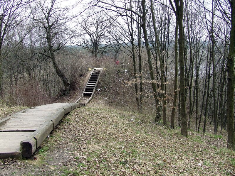

The Aukštųjų Šančių piliakalnis hillfort is located within the territory of the Kauno municipality on the right bank of the Nemunas river in the Šančiai eldership. To reach the site, visitors can follow a path leading from the park, 100 m south from a parking area near the intersection of Breslaujos, Prancūzų, and Verkių streets.
The hillfort is situated on the edge of the upper terrace of the right bank of the Nemunas. It features a rectangular platform measuring 4.5 m long and 8 m wide, oriented west to east. On its western edge, there is an embankment 1.5 m high and 15 m wide, which features an outer slope 5 m high leading down to a 25 m long, 17 m wide, and 2 m deep ditch.
The eastern slope contains a 3 m wide terrace located 4 m below the platform, sloping towards the south. The slopes are covered in grass, and the hillfort is surrounded by sparse ash trees. Stairs have been installed to access the site. Dating back to the beginning of the 2nd millennium, the site is listed in the cultural heritage register.
Sources: Wikipedia, OpenStreetMap, Wikidata, Wikimedia Commons




Written by Nicolo Ciampini
Discuss this with the author and others
No comments yet. Be the first to start the conversation.